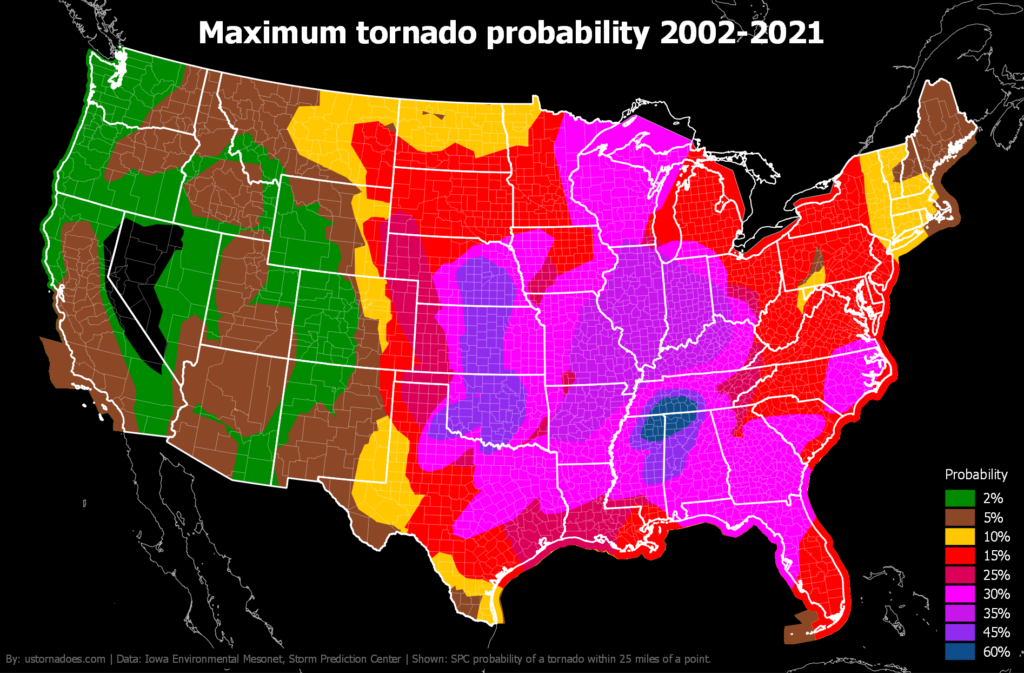
As was tragically seen on March 5, including with a long-tracked EF4 tornado that killed six in Iowa, spring tornado peak is in the midst of a comeback.
Spring, summer, fall or winter, the Storm Prediction Center (SPC) issues outlooks for severe weather potential across the country, for the current day and through eight days out. Their products are probably best known for the categorical convective outlook which currently runs from marginal to high risk on a one to five scale.
In addition to the categorical outlook, the current package for day one and day two includes probabilities for tornadoes, as well as severe hail and wind. What is shown is the probability of one of these hazards occurring within 25 miles of a point inside the outlook area.
[Clues from a decade of Storm Prediction Center tornado outlooks during peak season]
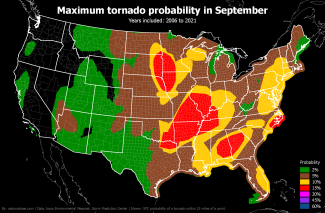
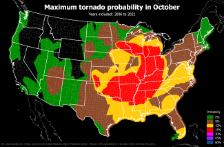
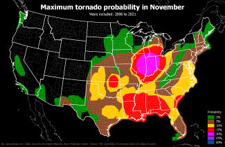
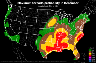
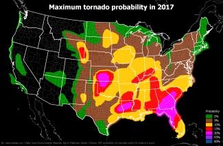
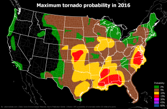
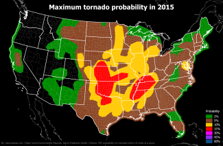
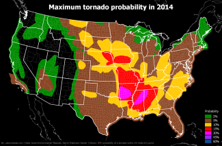
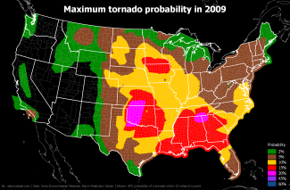
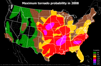
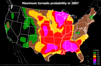
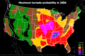
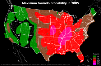
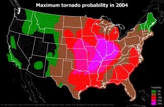
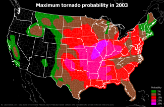
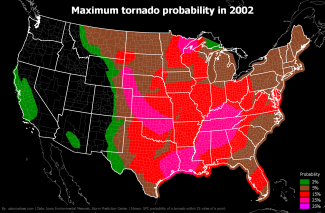
The tornado probabilities first show up on the SPC site starting in 2003, although they were produced in house prior. In 2006, probabilities were updated to the current scale. They currently run: 2% (marginal), 5% (slight), 10% (enhanced), 15% (moderate), 30% (high if hatched), 45% (high), 60% (high).
All images below focus on day 1 (day of) outlooks.
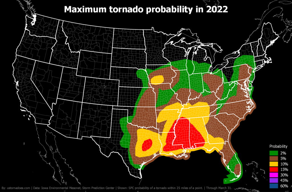
Current year
Through March 31, the current maximum tornado probability in 2022 is 15 percent, or moderate. We’ll update this after major systems through spring and less frequently in summer.
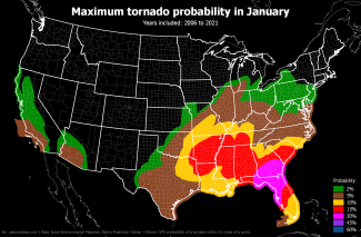
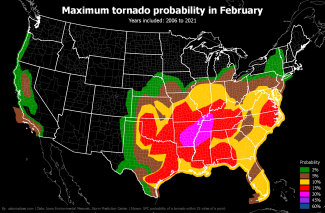
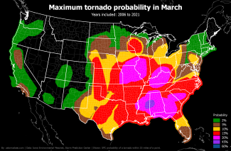
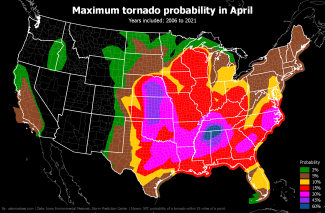
By month
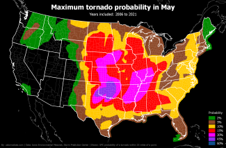
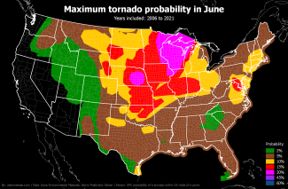
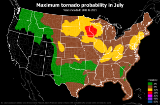
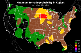
Like tornadoes, the SPC tornado probability map shifts north and west during the spring and into summer before settling back toward the warmer South and Gulf Coast in winter.
Past years
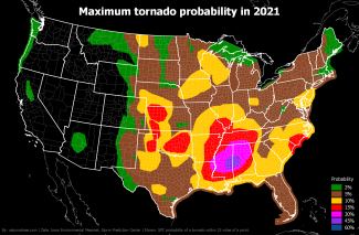
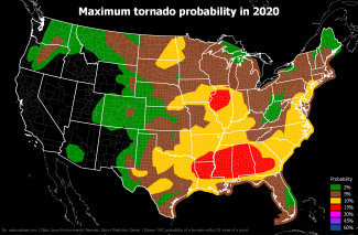
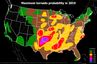
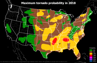
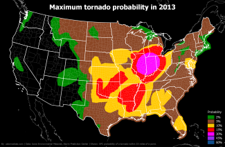
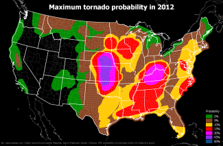
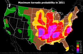
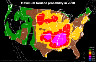
Below are all the years since 2002, with 2003 the first full year as 2002 data begins in March. You can see the change in probability layout from 2006 and beyond quite easily.
Latest posts by Ian Livingston (see all)
- Busy March for twisters to end with another multi-day event - March 28, 2025
- Everything but locusts: NWS shines in apocalyptic weather - March 17, 2025
- Top tornado videos of 2023 - January 1, 2024
