Another day of a good target with a somewhat poor execution.
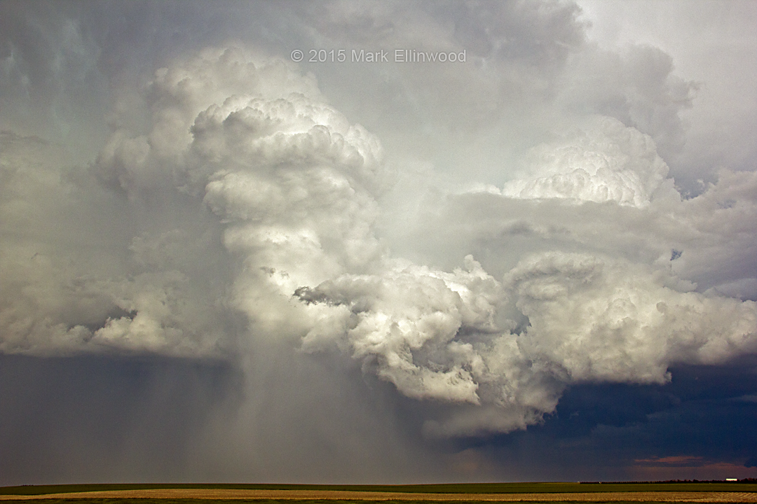
A smokey haze filled the lower atmosphere as storms initiated in the Texas Panhandle Thursday afternoon. Cloudy skies added to the meteorological confusion as we sat in Canadian, Texas with a muggy 74 degree temperature and periods of drizzle. Low-level lapse rates appeared bleak, but dew points were a juicy 70 degrees or so. There was still plenty of fuel for storms.
Things looked blobby for awhile as storms continually developed along a sharp cold front north and east of Amarillo. As the afternoon faded into the evening, storm structure on radar continued to look bleak.
However, as the low-level jet increased in the evening, suddenly the blobs began spinning. The storms ended up producing several tornadoes between Texas and Oklahoma, most of which quickly became hidden by rain if you weren’t in the right spot or close enough to see them.

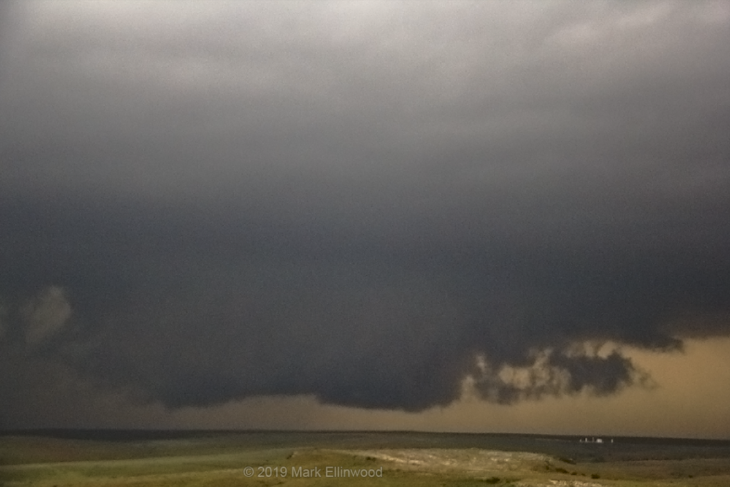
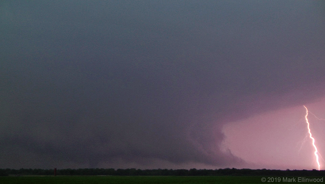
We watched the cluster of storm activity northwest of Canadian well into the evening, but did not come away with any tornadoes. Wall clouds and shelf clouds were aplenty, but the atmosphere had gotten too worked over to produce more tornadoes near our location.
There was frustration of being within several miles of the initial tornadic activity and not seeing it, but what’s done is done, and we look onward to today’s storm potential in the Texas Panhandle and western Oklahoma. The setup today is a bit more subtle and could contain several areas of storm activity. We will be watching the surface obs and visible satellite closely.
Latest posts by Mark Ellinwood (see all)
- Spring 2023 seasonal tornado outlook - March 1, 2023
- Spring 2022 seasonal tornado outlook - March 1, 2022
- Spring 2021 seasonal tornado outlook - March 1, 2021

