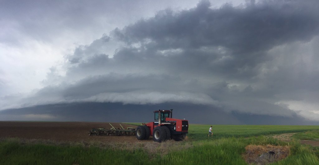
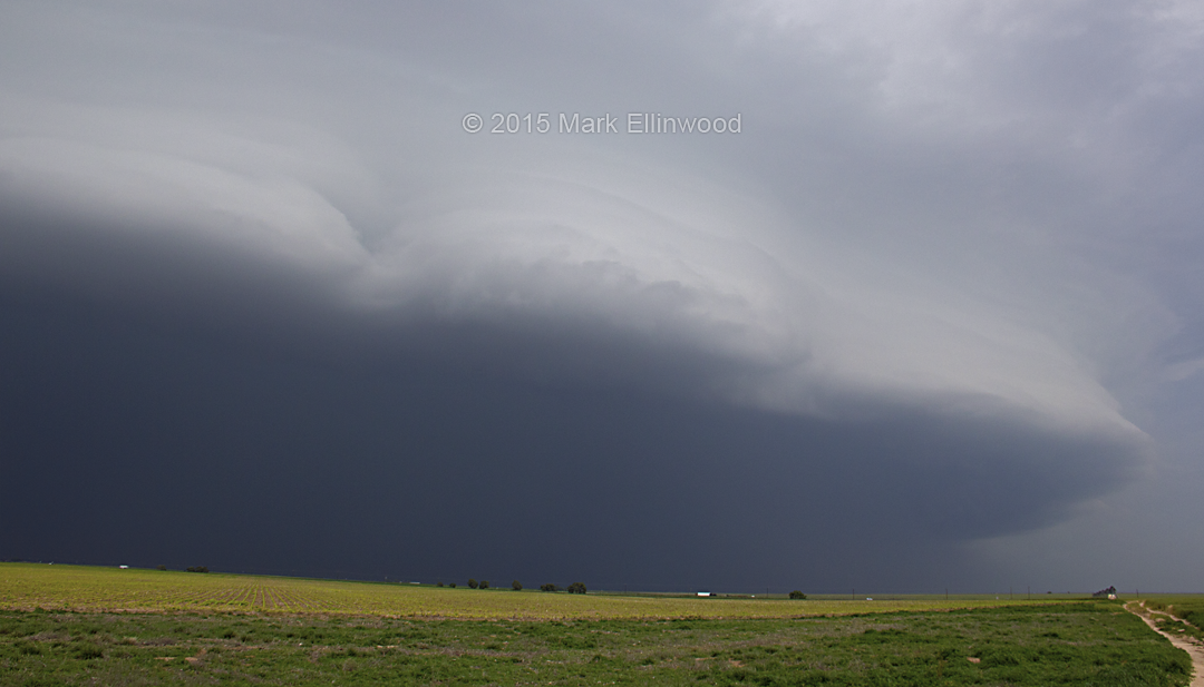
We found the storms of the day in North Dakota today, which produced some interesting structure and lightning. Overall, we made do with what we could in a low shear and moderate/high instability environment.
For awhile it looked like the blob we were on would try to start rotating, but there just wasn’t enough shear to get things cranking. Storms ended up training over the same areas, and produced some good hail and wind, but any sort of supercell characteristics were brief and inconsequential.
Currently, we are evaluating next week’s setups and determining what we might be able so salvage in terms of storms. If it continues to look bleak, we will probably just call the chase a week early and head home. There might be a decent day or two thrown into next week, but waiting a week for just a couple of decent setups probably isn’t worth the cost.
I got some lightning video that I can pull screen grabs from, and I’ll go through those in the coming days to see exactly what I caught on camera.
Latest posts by Mark Ellinwood (see all)
- Spring 2023 seasonal tornado outlook - March 1, 2023
- Spring 2022 seasonal tornado outlook - March 1, 2022
- Spring 2021 seasonal tornado outlook - March 1, 2021

