Every trip has a day like Sunday. If you’re lucky it’s only one.
What kind of day was Sunday? The kind where you’re better off staying away from social media unless you want lots of evidence of what you missed elsewhere.
We woke up in Garden City, Kansas then debated the day’s target. It was a storm risk spread from international border to international border. Never a straightforward task in choosing the right target.
Border to border watches… pic.twitter.com/5gBbtZTs4W
— Rick Smith (@ounwcm) May 23, 2016
Two main zones presented themselves. One in Texas and one in the central to northern Plains. Meteorologically, the northern one made sense. It was near the surface low, near incoming forcing, and the atmosphere was primed.
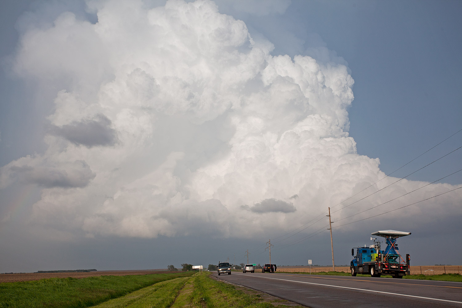
An ill-timed short-wave pass during the mid-afternoon set off a cascading failure. A few storms popped but none of them did a whole lot. Elsewhere to the south, and to the north in South Dakota, tornadoes dropped.
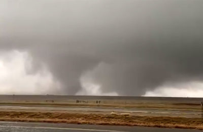
NEW: close-range video of wedge #tornado SW of Scott City, KS touchdown to rain-wrapping. More tomorrow. #kswx pic.twitter.com/xpQiXR8lBr
— Reed Timmer, PhD (@ReedTimmerUSA) May 23, 2016
There was even a tornado about 20 miles from where we woke up in the morning. Something I feared might happen.
Oh well. Off to Oklahoma today.
Latest posts by Ian Livingston (see all)
- Busy March for twisters to end with another multi-day event - March 28, 2025
- Everything but locusts: NWS shines in apocalyptic weather - March 17, 2025
- Top tornado videos of 2023 - January 1, 2024
