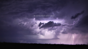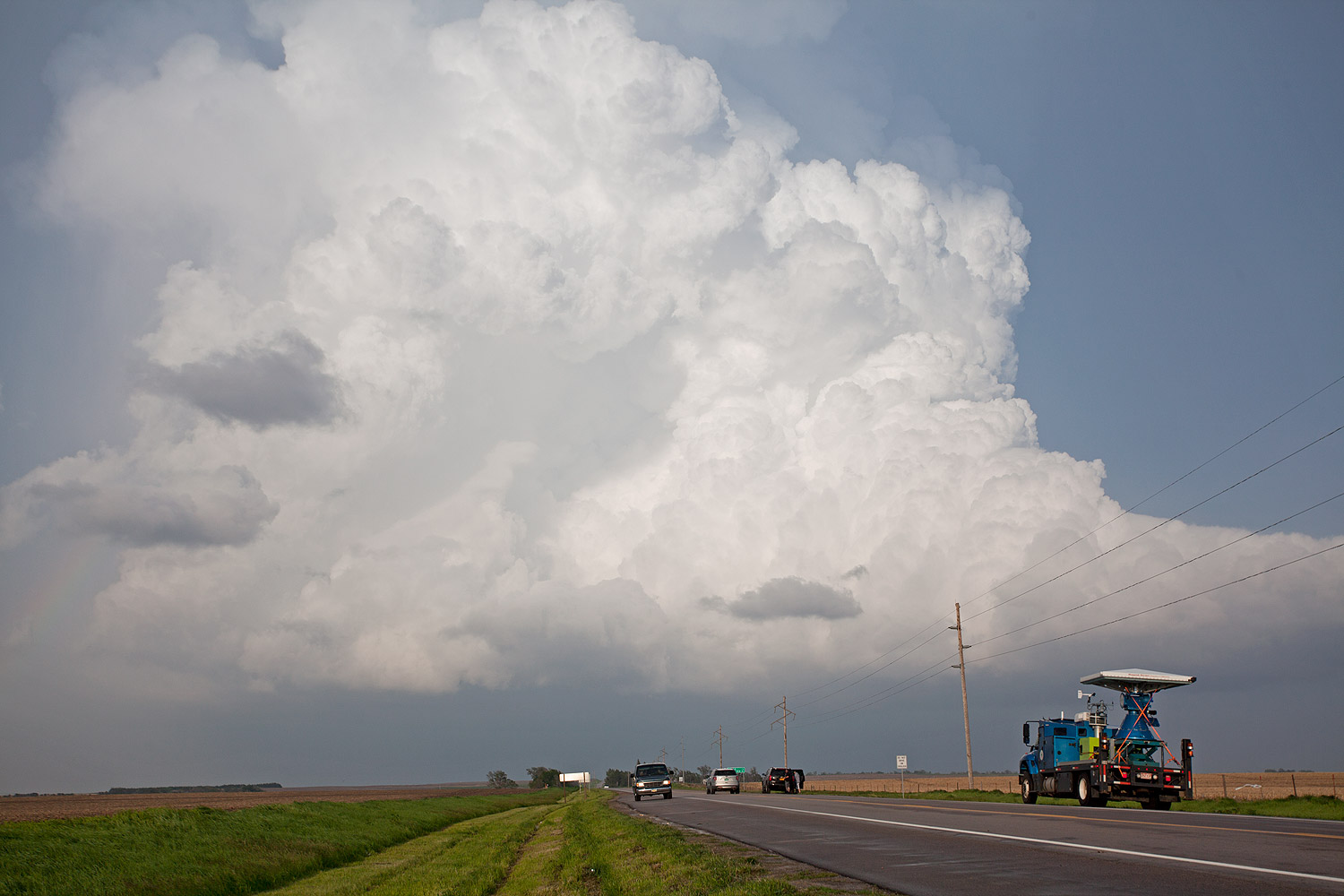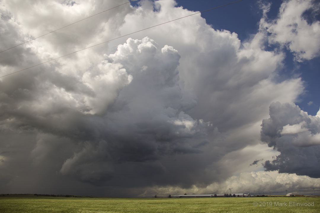
Unfortunately, the shortwave trough lagged behind what the models had for timing, which meant later storm initiation. We still went up to the storms for some lightning shots and maybe an outside chance of a nighttime tornado. The lightning was a decent save to the day, but the way the day played out left a sour taste in our mouths as we look ahead to how the next few days might pan out.
Plans for the rest of the trip involve hanging around New Mexico and Texas for a few more days before heading back east and calling it a few days early. It’s either that or make the long trek north for a marginal setup later in the week, and right now it doesn’t look good enough to warrant the drive north. Because of this, we are really hoping to catch a tornado in the next few days to cap off our trip.
Latest posts by Mark Ellinwood (see all)
- Spring 2023 seasonal tornado outlook - March 1, 2023
- Spring 2022 seasonal tornado outlook - March 1, 2022
- Spring 2021 seasonal tornado outlook - March 1, 2021

