One of the chaser mottoes is true for us today as we sit in Russell, KS waiting to see where storms may pop. We will probably drift east today and follow the best parameters as things develop, but for now it’s probably best that we save some gas and avoid backtracking.
We were on the cell that produced a large, rain-wrapped tornado in northern Kansas yesterday, but we were about 4-5 miles south/southeast of it and did not see it. The area was not good for data, so we could not get radar updates and we weren’t sure where it was moving and how far away we needed to be in order to be safe. We did see a brief tornado from the same cell, but it was just a weak, dusty spin-up that wasn’t photogenic.
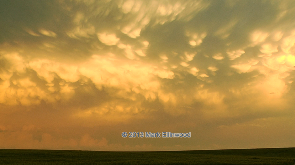
Below is the sunset that greeted us as we pulled away from the storm:

I also processed a timelapse video from the Arcadia, NE storm from May 26th (12x speed). It had some great motion!
Latest posts by Mark Ellinwood (see all)
- Spring 2023 seasonal tornado outlook - March 1, 2023
- Spring 2022 seasonal tornado outlook - March 1, 2022
- Spring 2021 seasonal tornado outlook - March 1, 2021

