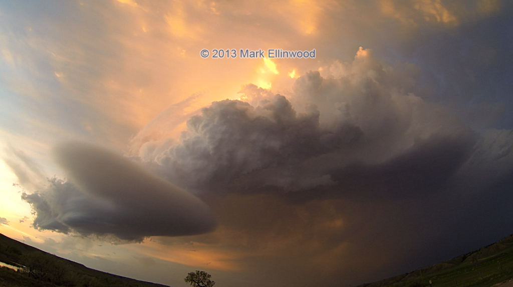
Yesterday we ran north to a storm that popped up fairly early in the afternoon northwest of Rapid City, SD and tracked it southeastward to near Wasta along I-90. The storm did not appear to produce a tornado despite its very long life, but it did produce some pretty amazing structure that made the day just as good as it would have been if we had gotten a tornado.
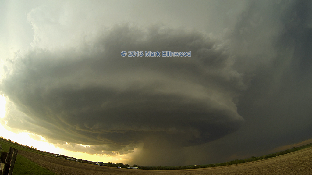
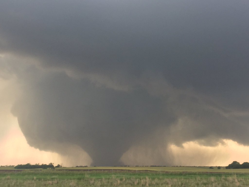
The storm took on a classic supercell look northeast of Rapid City in the late afternoon as we pulled ahead of the storm for some structure shots. Here is a shot of the storm in its full maturity:
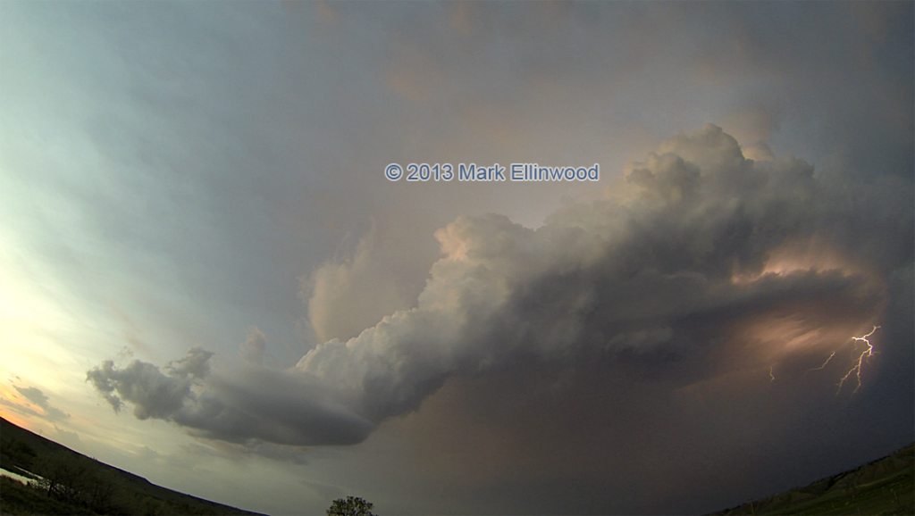
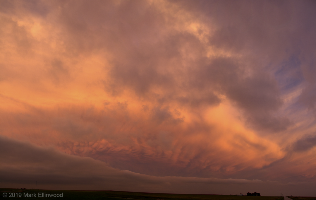
Below are a couple of images and a timelapse video of the supercell in its dying stages. It was quite awesome to watch the updraft twisting up into the atmosphere as the base slowly faded away.
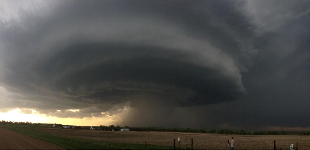
Ian’s iPhone pano that he posted to Twitter:
And for good measure, a Vine post of James getting wind measurements, me analyzing the storm and finally the storm itself before it took on that classic look you see in the top picture:
Latest posts by Mark Ellinwood (see all)
- Spring 2023 seasonal tornado outlook - March 1, 2023
- Spring 2022 seasonal tornado outlook - March 1, 2022
- Spring 2021 seasonal tornado outlook - March 1, 2021
THAT, is an insanely beautiful timelapse! Well done! I loved the changing light and colours as the day progressed!
I followed that same cell all afternoon via a webcam stream from Bill &Ann Stromberg. As I did, I kept thinking , “Gee, I hope they’re doing a timelapse of this.” So, thank you for posting this! 🙂
I’ve always wanted to do a timelapse myself so I would love to get some info, so I can the right set-up and a starting point for settings. Would you mind sharing the exposure, camera, and lens details, plus an estimate of your distance to the cell?
Thanks!!!
Derek