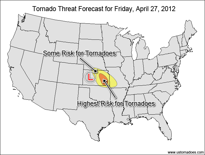
There is a strong potential for at least several tornadoes in the central Plains today as tightly-packed disturbance moves through the region.
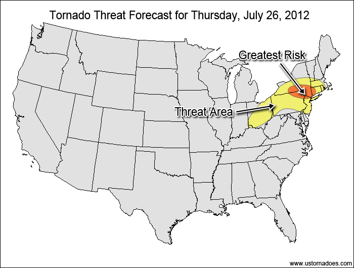
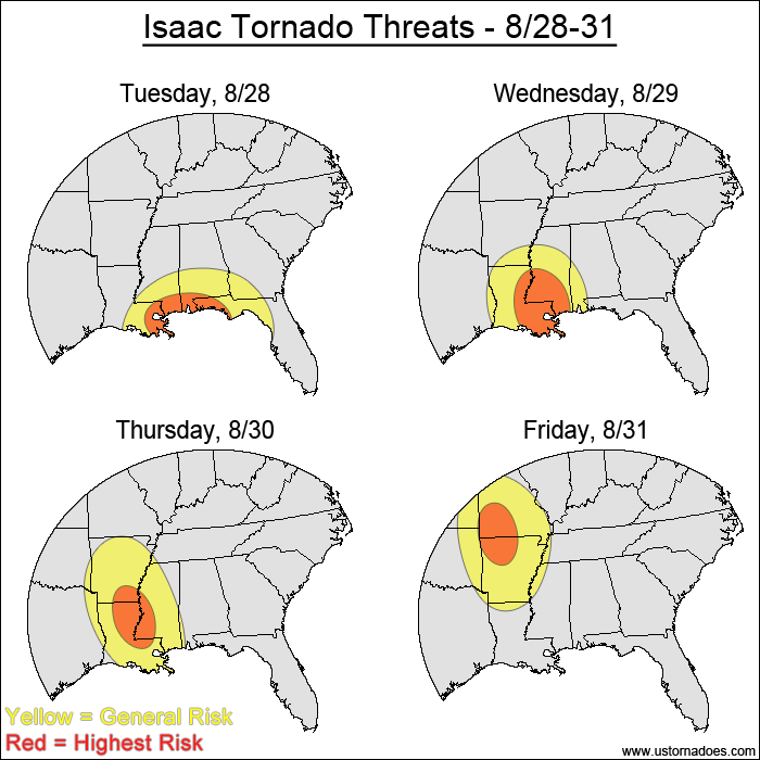
The yellow-shaded area represents where tornadoes will be possible today into the overnight hours. The red area highlights where the greatest tornado potential will be. The L is centered on the surface low as of 18z (1pm CDT).
Storm motion won’t be the greatest as cells travel towards the north/northeast, which will be parallel to the surface wind flow in some areas. The best tornado potential will be east and southeast of the surface low later this afternoon into the early evening as the low moves into northeastern Kansas. The storm-relative helicity will be highest in this region as the storms move closer to the warm front, where surface winds will be backed further out of the southeast. That combined with good veering winds aloft and CAPE in the 2000 J/kg range gets you all the makings of a solid tornado threat.
The southern extent of the risk area will be limited by a capping inversion, and the consensus of the latest high resolution models keeps virtually all of the tornadic storm development within eastern Kansas and far western Missouri. The small storm coverage area could keep the tornado risk limited, but within the “sweet spot” in eastern Kansas there will be the opportunity for at least several tornadoes, some of which could be strong.
Latest posts by Mark Ellinwood (see all)
- Spring 2023 seasonal tornado outlook - March 1, 2023
- Spring 2022 seasonal tornado outlook - March 1, 2022
- Spring 2021 seasonal tornado outlook - March 1, 2021


