Note: This is the first entry from a new contributor who is a meteorologist by day and a storm chaser when the situation presents itself. It focuses on tornado potential over the next seven days.
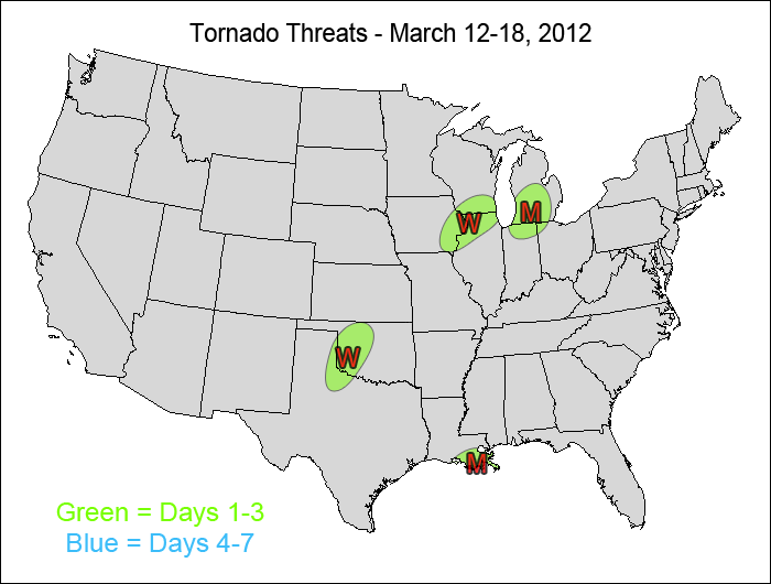
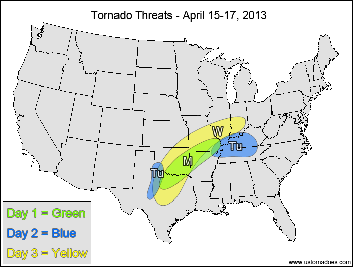
This is a 7-day forecast that will be updated every Monday and Thursday. Risk areas are labeled with their corresponding days, with M = Monday, Tu = Tuesday, etc. POTENTIAL describes the severity of the tornadic threat, and CONFIDENCE portrays the amount of certainty in the potential and timing/placement of the risk area.
1-3 DAY
Monday
Louisiana — POTENTIAL: Low — CONFIDENCE: Normal
Instability and plenty of low-level moisture could allow ongoing storms to become tornadic as they mature, but a lack of dynamical forcing and low speed shear will keep tornadic storms to a minimum.
Great Lakes — POTENTIAL: Low/Medium — CONFIDENCE: Normal
Strong upper-level dynamics and favorable wind shear will produce storms during the afternoon and overnight hours, some of which will be capable of producing tornadoes. CAPE will be the main limiting factor as it tops out around 1000-1250 J/kg during the afternoon before it starts to diminish.
Tuesday
No tornadic activity expected.
Wednesday
Southern Plains, Midwest — POTENTIAL: Very Low — CONFIDENCE: Low
Weak forcing and weak speed shear will keep tornadic potential limited, but there will be enough instability and low-level rotation present to provide a very low threat in both target areas, mainly during the late afternoon and evening hours.
4-7 DAY
Tornadic potential too low.
Latest posts by Mark Ellinwood (see all)
- Spring 2023 seasonal tornado outlook - March 1, 2023
- Spring 2022 seasonal tornado outlook - March 1, 2022
- Spring 2021 seasonal tornado outlook - March 1, 2021

